
Hiking Trails in the Conejo Valley: A Trail-by-Trail Guide With Maps and Photos
The Conejo Valley has nearly 15,250 acres of protected open space inside Thousand Oaks city limits alone, and more than 150 miles of maintained trail. Add the Santa Monica Mountains National Recreation Area next door, with its 500-plus miles of public trail, and you have one of the densest trail networks attached to any suburb in Southern California. This is a trail-by-trail guide to the ones actually worth your morning.
I get asked about hiking more than almost anything else by people moving here, and the honest answer is that the trail access is the single most underrated feature of living in this valley. You can be on singletrack ten minutes after leaving your driveway in almost any neighborhood from Newbury Park to Oak Park.
What follows is organized by city, with real distances, real trailhead addresses, honest difficulty notes, dog rules, and a map for each area. I have flagged which ones work with a stroller, which ones will wreck you in August, and which ones are worth the drive.
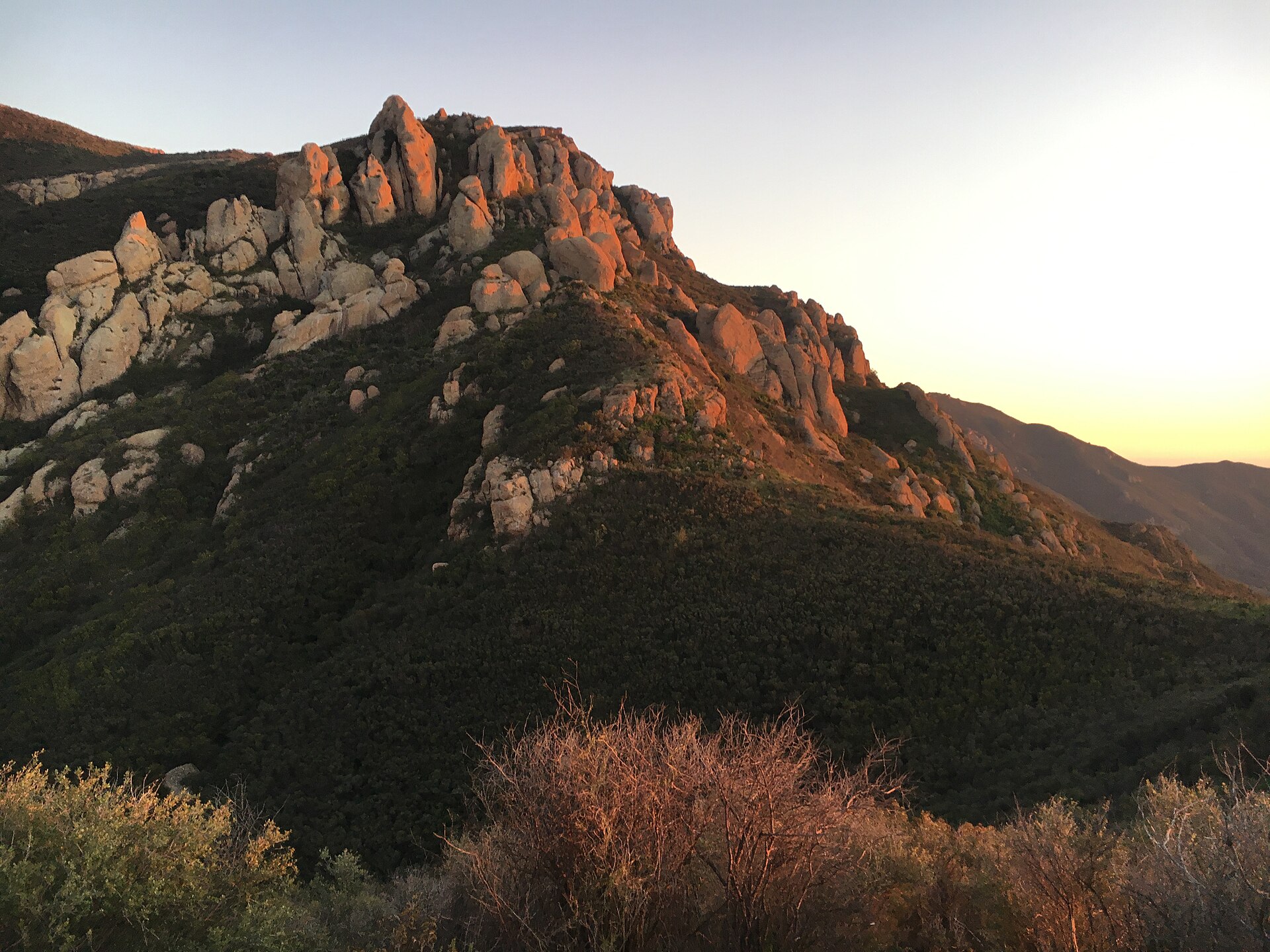
Before you go: get the official maps
Phone apps are fine for finding a trailhead and useless for understanding how the trail system connects. COSCA publishes free PDF maps that show junctions, fire roads and neighborhood access points properly. Download these rather than relying on a screenshot.
- Full COSCA open space trail system map (PDF) – the whole valley on one sheet
- Wildwood Park map (PDF)
- Los Robles map (PDF)
- Conejo Canyons map (PDF)
- Dos Vientos map (PDF)
- Lang Ranch / Woodridge map (PDF)
Paper copies are also available at primary trailheads, from COSCA administrative offices at (805) 449-2329, or from Ranger Headquarters at (805) 381-2741.
Check closures first. As of this writing, access to the Hidden Rim Trail and the Hill Canyon Fire Road from the north side of Rancho Conejo Boulevard remains closed, though COSCA said in August 2026 that restoration is anticipated soon. There is also ongoing water-pipeline construction affecting on-street parking at the Los Padres Trailhead. Closures rotate with weather and fire conditions, so look before you drive.
One rule people miss: if you are bringing a group of 25 or more into COSCA open space, reservations are required under COSCA Ordinance Section 226. Call the park district at (805) 495-6471.
The quick comparison table
| Trail / area | City | Distance | Difficulty | Dogs | Best for |
|---|---|---|---|---|---|
| Paradise Falls loop, Wildwood | Thousand Oaks | ~2–3 mi loop | Easy–moderate | Yes, leashed | The one to show visitors |
| Lizard Rock, Wildwood | Thousand Oaks | ~3 mi round trip | Moderate | Yes, leashed | Big views, fewer people |
| Mesa Trail, Wildwood | Thousand Oaks | Short, flat start | Easy | Yes, leashed | Strollers, small kids |
| Oak Creek Canyon Whole Access | Thousand Oaks | 1/4 mi each way | Easy, accessible | Yes, leashed | Wheelchairs, braille signage |
| Los Robles ridgeline | Thousand Oaks | Several mi, your call | Moderate–hard | Yes, leashed | Best valley panoramas |
| Hill Canyon Trail | Thousand Oaks | ~1 mi | Easy | Yes, leashed | Creekside, stroller friendly |
| Lynnmere | Thousand Oaks | Varies | Moderate | Yes, leashed | Wildlife, quiet ridges |
| Mt. Clef Ridge | Thousand Oaks | Varies | Moderate | Yes, leashed | Two-valley views |
| Satwiwa Loop | Newbury Park | 1.5 mi round trip | Easy | No dogs | Families, first-timers |
| Boney Mountain / Old Boney | Newbury Park | Long, 8+ mi options | Strenuous | No dogs | Serious hikers only |
| Potrero Ridge | Newbury Park | ~3–4 mi options | Moderate | Yes, leashed | Sunset, quick after work |
| Dos Vientos open space | Newbury Park | Extensive network | Easy–moderate | Yes, leashed | Ocean and island views |
| Rancho Potrero / Olympia Farms | Newbury Park | Varies | Moderate | Yes, leashed | Coastline on clear days |
| Lang Ranch / Woodridge | Thousand Oaks / Westlake | Extensive network | Easy–moderate | Yes, leashed | Oak woodland, connectors |
| China Flat to Simi Peak | Oak Park | ~7–8 mi round trip | Hard | Yes, leashed | Highest point in the Simi Hills |
| Cheeseboro Canyon to Modelo loop | Agoura Hills | 3 mi loop | Moderate | Yes, leashed | Valley oak savanna |
| Arroyo Conejo (the barranca) | Newbury Park / TO | Limited access | Moderate | Yes, leashed | Perennial stream, oaks |
| Sapwi Trails | Thousand Oaks | Several mi | Easy–moderate | Yes, leashed | Multi-use, bikes welcome |
That dog rule is the single biggest tripwire. COSCA and park district land allows leashed dogs. National Park Service trails at Rancho Sierra Vista, Satwiwa and Boney Mountain do not. People drive to Satwiwa with the dog in the back all the time and have to turn around.
Thousand Oaks: Wildwood Park is the headliner
Wildwood Park is the largest contiguous open space unit in Thousand Oaks at 1,731 acres, and it contains 14 trails covering roughly 17 miles. Main access is at 928 W. Avenida de los Arboles, at the western end of the street, plus several neighborhood access points. Hours are 7:00 a.m. to dusk.
Two things to know before your first visit. There are only three water fountains in the entire park, and the restrooms are at the bottom of the canyon only. Bring water. Everything about Wildwood is downhill on the way in and uphill on the way out, which catches out visitors who feel great for the first mile.
Paradise Falls
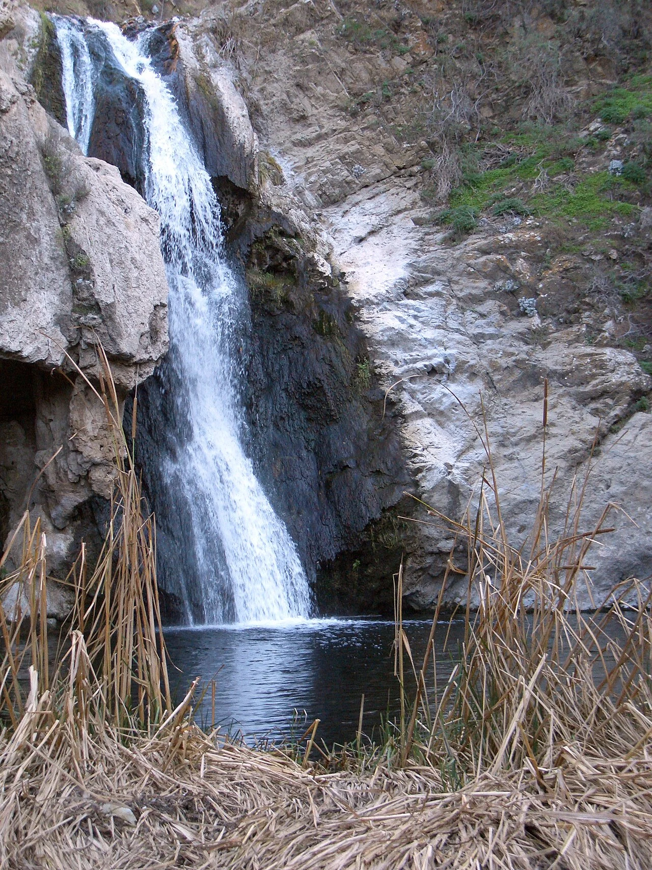
This is the destination most people mean when they say they are hiking Wildwood. A genuine waterfall in a canyon, about two to three miles round trip depending on your route, reachable from the Arboles trailhead by dropping into the canyon. Best after winter rain; by late summer the flow is thin. Expect company on weekend mornings.
Lizard Rock
The rock outcrop on the west side of the park, roughly three miles round trip, with a climb that earns you a wide view back across the valley. Fewer people than the falls. Almost no shade, which matters from June through September.
Mesa Trail (the accessible option)
COSCA specifically calls out the Mesa Trail as a barrier-free access point, next to an accessible drinking fountain and picnic table. The slope and sideslope exceed strict wheelchair standards by a small margin for a short stretch, but it is genuinely workable with a stroller or small children and it is scenic from the first hundred yards.
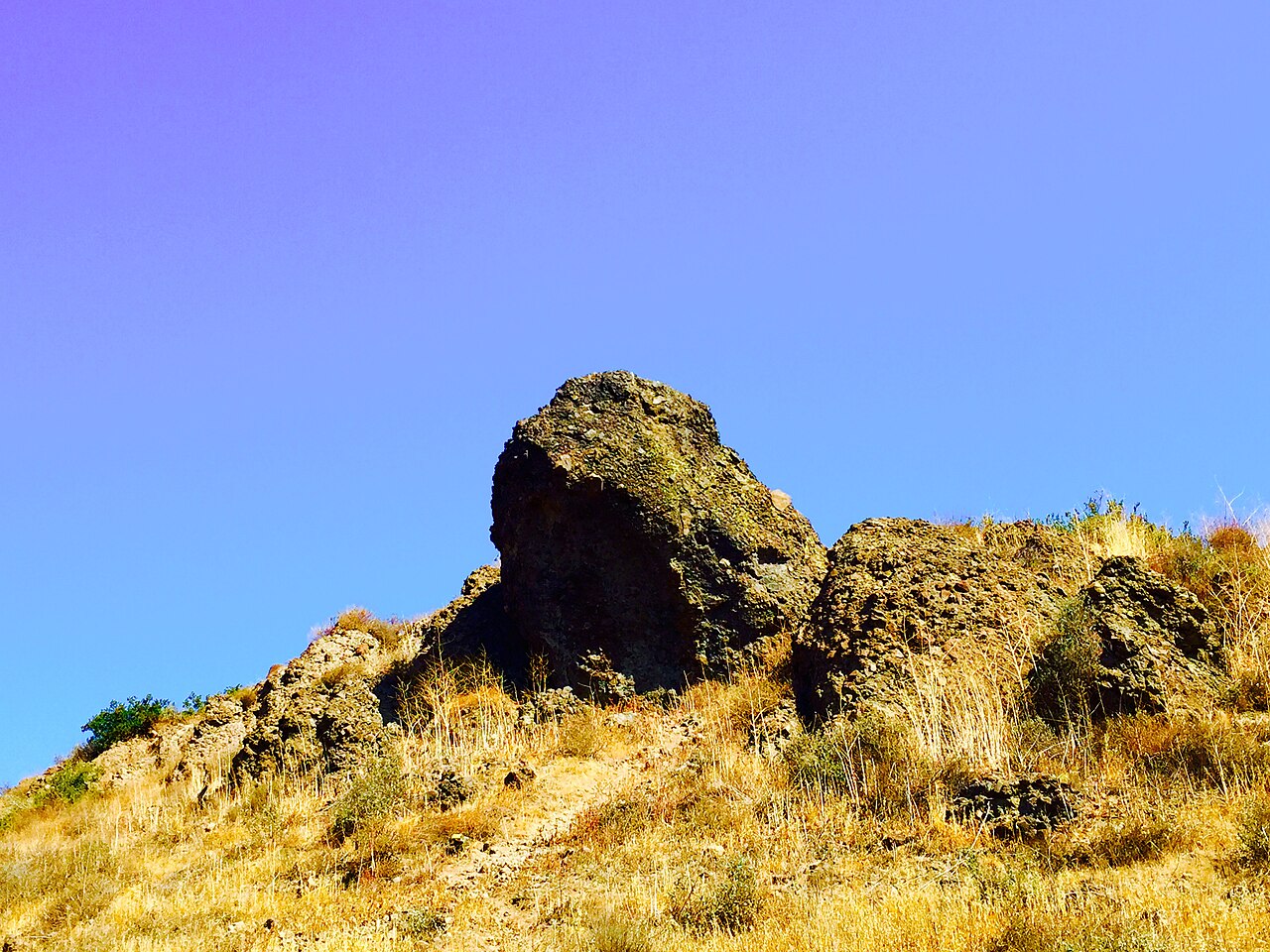
Wildlife in Wildwood includes deer, bobcat, raccoon, coyote, opossum, gray fox and mountain lion. That last one is not a marketing line, it is in the official description.
Thousand Oaks: Los Robles has the best views in the valley
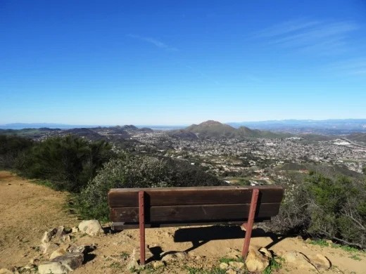
The Los Robles Open Space is 358 acres on the southern edge of the valley, including nearly a mile of the prominent ridgeline that flanks it. COSCA describes the ridgeline trails as offering some of the most scenic vistas in the valley, and that is not overselling it – you get the whole of Thousand Oaks laid out below you.
The principal trailhead is at the southern terminus of Moorpark Road. Secondary access comes from the Whole Access Trail on the west side of Greenmeadow Avenue and from Los Padres Drive. Note the pipeline construction currently affecting parking at the Los Padres trailhead.
There are flat grassy potreros near the ridgeline where deer browse in the early morning and late afternoon. Go at either end of the day and you will probably see them.
Oak Creek Canyon Whole Access Trail
Adjacent to 482 S. Greenmeadow Ave. This is the valley trail built for genuine accessibility: a quarter-mile natural-surface path each way through an oak grove, with a cable handrail and braille interpretive signs for visually impaired users. Accessible picnic tables and an accessible restroom are on site. If you have a family member who has been left out of hikes, this is the one.
Thousand Oaks: Conejo Canyons, Lynnmere and Mt. Clef Ridge
The Conejo Canyons Open Space runs to 1,673 acres of deeply eroded canyons, plateaus and ridgelines in the northwest corner of the valley, protecting coast live oak woodland, riparian habitat and both interior and coastal sage scrub.
Hill Canyon Trail
About a mile along Conejo Creek, and the second trail COSCA flags for broad accessibility. Accessed from the Hill Canyon trailhead it slopes gently enough for strollers and small children, and the accessible portion ends at a shady picnic table at a junction in Hawk Canyon. Accessible restrooms sit at the north end of the equestrian park next to the trailhead.
Current status: access to Hill Canyon Fire Road and the Hidden Rim Trail from the north side of Rancho Conejo Boulevard remains closed as of August 2026, with restoration anticipated.
Lynnmere
114 acres of coastal sage scrub slopes and ridgelines connecting into Wildwood Park. Deer move freely between the two. The trails give you views over Wildwood, Mount Clef Ridge and Conejo Canyons all at once, which makes it a good orientation hike if you are new and trying to understand the geography.
Mt. Clef Ridge
217 acres running from the Norwegian Grade on Moorpark Road west to Wildwood. The ridgelines give you sweeping views of both the Conejo Valley and the Santa Rosa Valley – two different worlds from one spot. This area holds two sensitive plants, Lyon’s pentachaeta and Conejo dudleya, so staying on trail here genuinely matters.
Thousand Oaks: Sapwi Trails
Several miles of multi-use trail plus skills stations, maintained by CORBA under agreement with the park district, inside the 140-acre Sapwi Trails Community Park at 2225 N. Westlake Blvd. This is the trail system to use if you are hiking with a mountain biker in the family, because bikes are genuinely welcome rather than tolerated.
The same park holds the valley’s only bike skills park and an 18-hole disc golf course. I wrote about both in detail in the Sapwi guide.
Newbury Park: the best hiking in the valley, and the strictest rules
Newbury Park sits against the Santa Monica Mountains National Recreation Area, and that changes everything. The terrain gets bigger, the views get longer, and the land manager changes from COSCA to the National Park Service – which means no dogs on trails.
Satwiwa Loop Trail, Rancho Sierra Vista
Easy, 1.5 miles round trip, through the grasslands and chaparral of the Satwiwa Native American Indian Natural Area, with Boney Mountain as the backdrop. The National Park Service lists this among its recommended starter hikes for the whole recreation area, and it deserves the spot. Wide, graded, gentle, and it ends up feeling far bigger than a mile and a half.
The Satwiwa Native American Indian Culture Center is at the trailhead. No dogs.
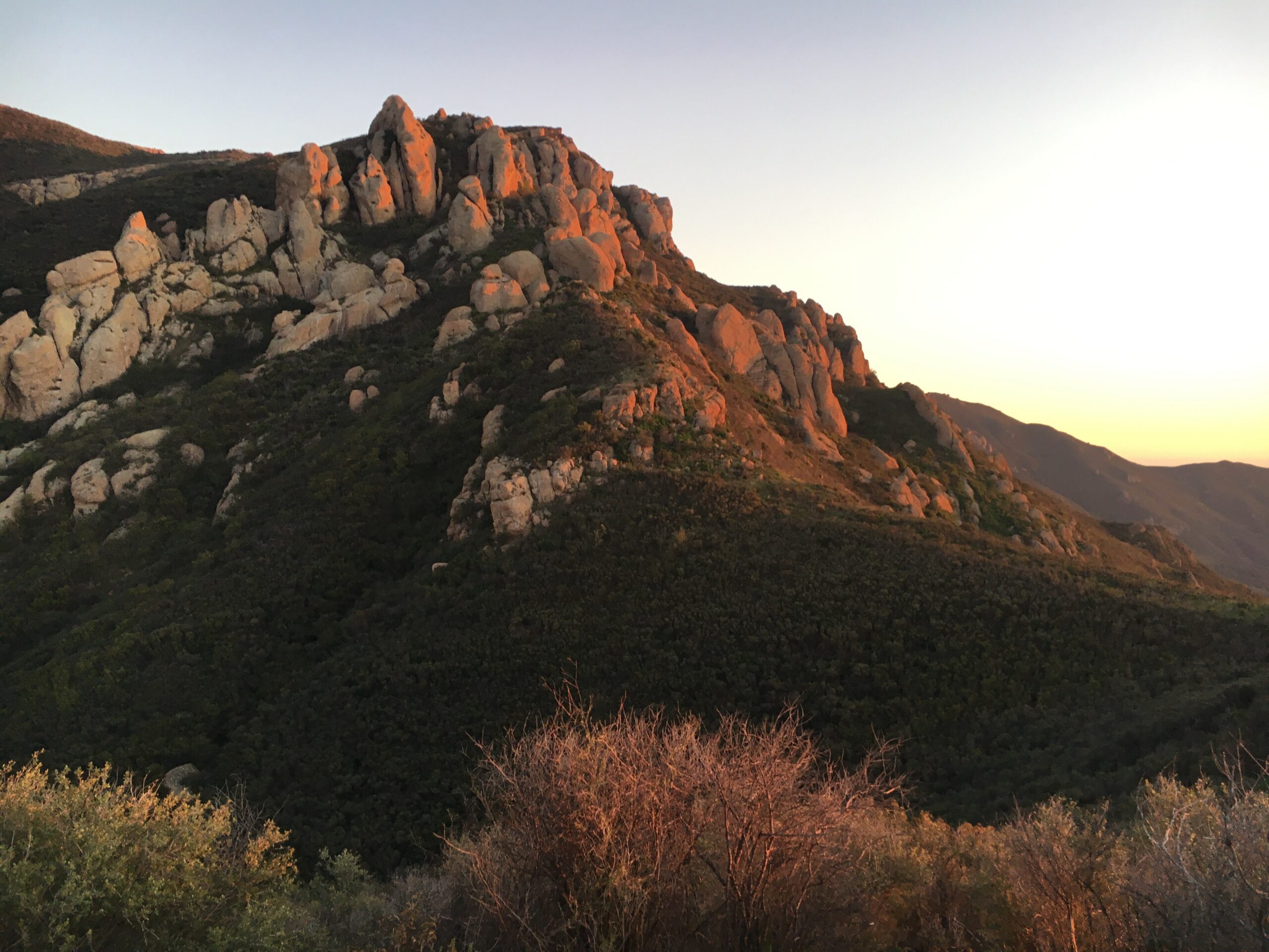
Boney Mountain and Old Boney Trail
This is the serious one. From Rancho Sierra Vista you can climb into the Boney Mountain wilderness on routes that run eight miles and well beyond, with sustained steep grades and long exposed stretches. It connects into Point Mugu State Park and the wider Backbone Trail network. People underestimate it constantly.
Do not attempt this in summer heat without far more water than feels reasonable. There is no bailout point in the middle.
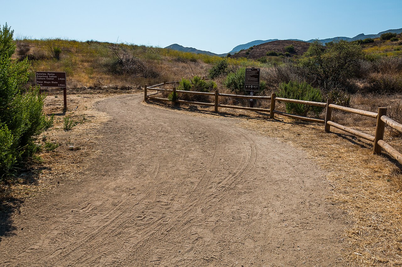
Potrero Ridge
205 acres of grassy hillside, coastal sage scrub and oak woodland along a low ridge running east to west through Newbury Park. Accessed from a trailhead on Wendy Drive, with a second trailhead on Reino Road that also opens into Dos Vientos to the west.
This is the after-work hike. Close in, quick to gain the ridge, and the sunsets from the top are the reason locals keep it in rotation.
Dos Vientos Open Space
1,203 acres in the southwest corner of the valley, chaparral and coastal sage scrub, with an extensive internal trail network and regional connections south into Rancho Potrero, Rancho Sierra Vista and Point Mugu State Park. Principal access is through park sites inside Dos Vientos Ranch itself.
The reason to come here: on a clear day you get the Pacific Ocean and the Channel Islands. That is not a view you associate with an inland valley, and it is the thing that sells Dos Vientos to buyers who did not expect it.
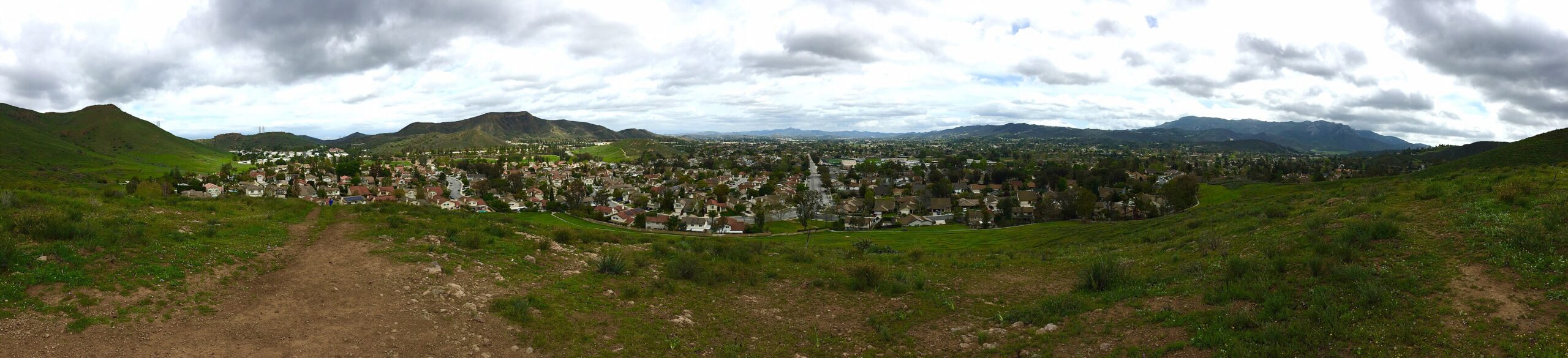
Rancho Potrero and the old Olympia Farms site
326 acres acquired in 1993 by the City, the park district and the Mountains Recreation and Conservation Authority, south of Potrero Road. A 2010 Specific Plan set aside 304 acres as natural open space and 20 acres next to Lynn Road for public equestrian use. Trails connect into Dos Vientos and the national recreation area.
Aim for the old Olympia Farms site partway up the property. It still has graded pads from the previous use, and on clear days you can see the coastline and the Channel Islands from there.
Arroyo Conejo, the barranca
302 acres northeast of Hillcrest Drive and Ventu Park Road, including the Arroyo Conejo Nature Preserve that locals just call the barranca. Steep-sided canyons, oak woodland, a perennial stream and riparian vegetation. It was flagged as a sensitive resource area as far back as the City’s 1972 Conservation Element.
Access is deliberately limited to protect the habitat, and comes from the Rancho Conejo Playfield on the east side of Ventu Park Road just north of Hillcrest. Respect the boundaries here; the restrictions exist for a reason.
Oak Park: China Flat and Simi Peak
Oak Park’s hiking is the valley’s best-kept secret, and its hardest day hike. The China Flat trail climbs from the Oak Park side up into a high meadow, and from there you can continue to Simi Peak – the highest point in the Simi Hills at roughly 2,400 feet.
Call it seven to eight miles round trip with real climbing. It is not technical, but it is relentless, and the exposure is total. Start early.
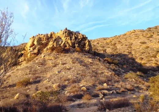
The reward at China Flat is the meadow itself, which feels genuinely remote despite being minutes from Kanan Road. From the top of Simi Peak you can see the San Fernando Valley on one side and the Conejo Valley on the other.
The trail system links through to Palo Comado and Cheeseboro Canyon, so strong hikers can make a much longer day of it by dropping into Agoura Hills and arranging a pickup.
Agoura Hills: Cheeseboro and Palo Comado Canyons
The main parking lot is at 5792 Chesebro Road, Agoura, CA 91301. GPS for the lot entrance is N 34.1543, W -118.7339. From the 101, take the Chesebro Road exit, turn north on Palo Comado Canyon Road, then right on Chesebro Road and go north about a mile to the park entrance.
The National Park Service recommends the Cheeseboro Canyon Trail to Modelo Trail loop: moderate, three miles round trip. It follows a flat old ranch road through valley oak savanna before climbing a ridge for panoramic views over the Simi Hills on the return.
The valley oak savanna in the lower canyon is the draw. It is one of the better remaining examples in the region, and the flat first mile means you can bring people who would refuse a real climb. If you are riding, note that horse trailers may only be parked in the main lot near 5800 Cheeseboro Road.
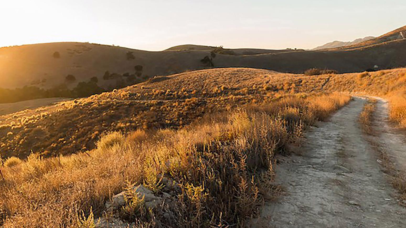
Cheeseboro and Palo Comado also connect north into China Flat, which is how you link Agoura Hills to Oak Park on foot. Worth knowing that the Wallis Annenberg Wildlife Crossing sits just west of here on the 101, reconnecting these hills to the Santa Monica Mountains for the animals that use them.
Westlake Village and the Lang Ranch connection
The Lang Ranch Open Space covers 915 acres of rolling grassland, oak woodland and riparian corridor in the northeast part of Thousand Oaks, right up against Westlake Village. Trail access is from the eastern terminus of Westlake Boulevard and the eastern terminus of Lang Ranch Parkway.
What makes this network useful is its connections. From Lang Ranch you can reach China Flat, Cheeseboro Canyon, Palo Comado Canyon, Sunset Hills Open Space and the North Ranch Open Space without touching pavement.
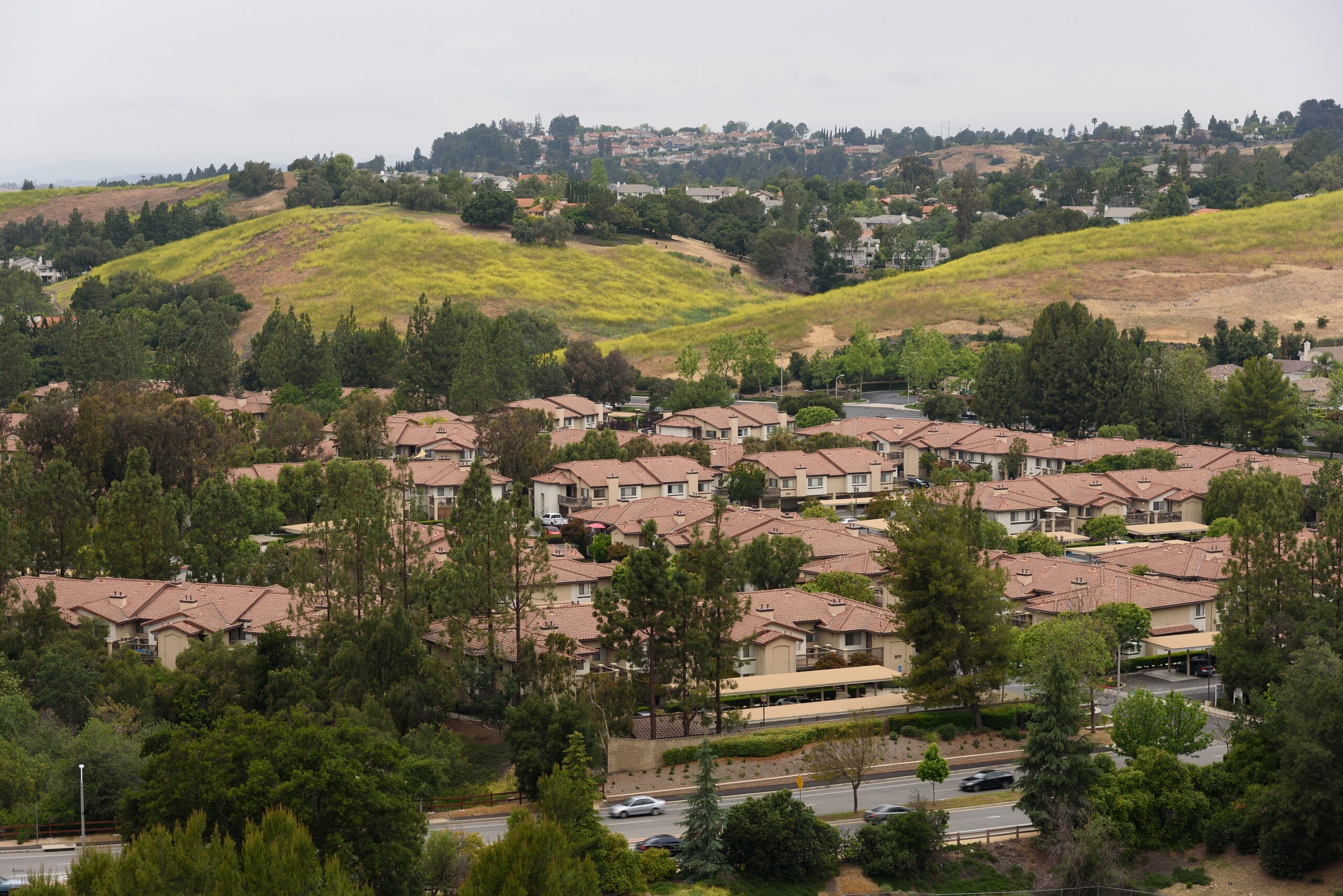
For Westlake Village residents specifically, this is your nearest genuine trail network on the north side, with the Los Robles system to the southwest. Download the Lang Ranch / Woodridge map before your first outing, because the neighborhood access points are not obvious from the street.

Going further: Sandstone Peak and Point Mugu
Two bigger objectives sit just outside the valley and are worth the drive.
Sandstone Peak is the highest point in the Santa Monica Mountains at 3,111 feet, reached from Circle X Ranch. The Mishe Mokwa Trail to Split Rock from the same trailhead is a moderate 3.5 miles round trip through riparian, coastal sage scrub and chaparral, with views of Carlisle Canyon and Balanced Rock, and an oak grove at Split Rock for a shaded lunch.
Point Mugu State Park holds Sycamore Canyon and connects to the Boney Mountain routes from the Newbury Park side. This is where the Conejo Valley trail system runs out to the ocean.
Practical stuff nobody tells newcomers
Heat is the real hazard, not terrain
From roughly June through September, inland valley temperatures routinely run twenty degrees warmer than the coast, and almost none of these trails have meaningful shade. Chaparral is waist-high scrub, not forest. Locals hike at 6:30 a.m. in summer and it is not because they are keen.
Rattlesnakes and mountain lions
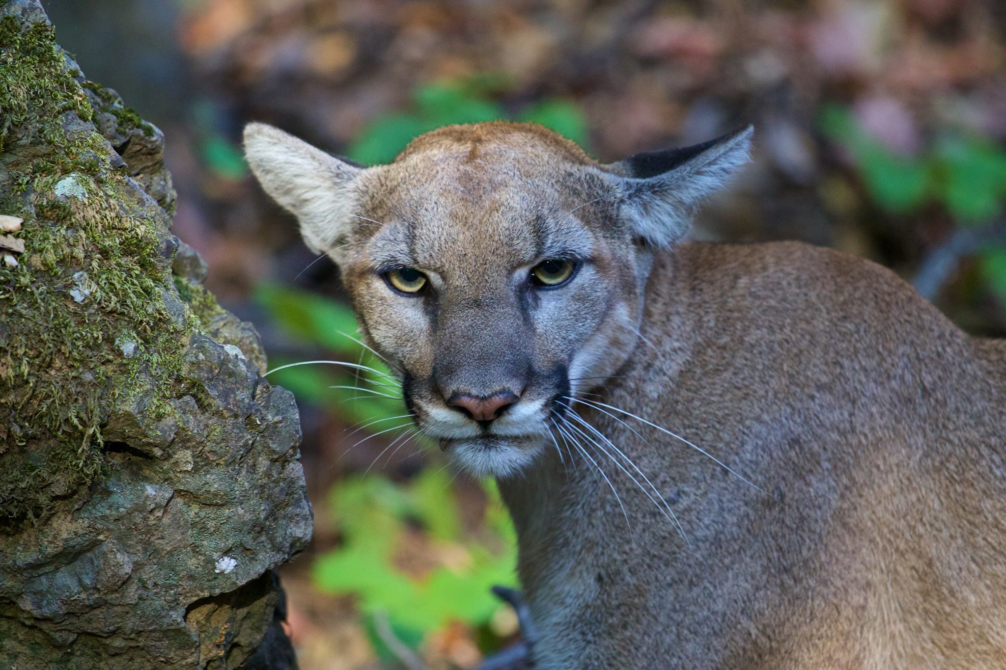
Rattlesnakes are common on every trail in this guide, especially on warm rock in spring and early summer. Watch where you put your feet and hands. Mountain lions are present – Wildwood Park lists them officially – but encounters are rare. The standard advice applies: do not run, make yourself large, keep small children close.
Do not hike wet trails
After rain, COSCA asks people to stay off until the trails dry. It is not about your comfort, it is that footprints and ruts in wet clay set hard and permanently degrade the trail surface. If mud is sticking to your shoes, turn around.
Ticks
Grassland trails in spring, particularly Lang Ranch and the lower canyons, are tick country. Check yourself and your dog afterwards.
Give back if you use them
COSCA runs Fall and Spring trail workdays plus a newer monthly trail work program with crews of about 20 volunteers. Registration goes through the park district at crpd.org – search for “COSCA” under Registration. The Conejo Open Space Foundation at cosf.org sends alerts for upcoming opportunities.
Which trail should you actually pick?
| If you want… | Go here |
|---|---|
| To impress out-of-town visitors | Paradise Falls, Wildwood Park |
| A stroller-friendly outing | Hill Canyon Trail or Mesa Trail |
| Genuine wheelchair access | Oak Creek Canyon Whole Access Trail |
| An hour before dinner | Potrero Ridge, Newbury Park |
| Ocean and Channel Islands views | Dos Vientos or Rancho Potrero |
| To be humbled | Boney Mountain or China Flat to Simi Peak |
| To bring the dog | Any COSCA trail – not the NPS ones |
| To ride rather than walk | Sapwi Trails or Cheeseboro Canyon |
| Shade in August | Lower Cheeseboro Canyon or the barranca |
| Solitude on a Saturday | Lynnmere or Mt. Clef Ridge |
Why this matters if you are buying here
I am not going to tell you trail access changes what a house is worth, because I cannot prove that and neither can anyone else. What I will say is that of everything buyers tell me they underestimated about the Conejo Valley, this is the one that comes up most. People move here for the schools and the commute, and then discover they can walk out the back of the neighborhood onto 150 miles of trail.
Practically speaking, if trail access matters to you, it is worth being specific with your agent about which trailheads you want to be near. Living a five-minute walk from the Wendy Drive trailhead in Newbury Park is a genuinely different life from living fifteen minutes by car from it, and the price difference between those two homes is often nothing at all.
Neighborhoods with the strongest direct trail access, broadly: Lynnmere and the streets off Avenida de los Arboles for Wildwood; the south end of Moorpark Road and Greenmeadow for Los Robles; Wendy Drive and Reino Road for Potrero Ridge; Dos Vientos throughout; east Westlake Boulevard and Lang Ranch Parkway for the Lang Ranch network; and almost all of Oak Park for China Flat.
Acreage and trail-system figures from the Conejo Open Space Conservation Agency. Distances and difficulty ratings for National Park Service sites from the National Park Service. Conditions change – check current closures before you go.
Frequently asked questions
What is the best hike in the Conejo Valley?
For a first visit, Paradise Falls in Wildwood Park. For the best views relative to effort, the Los Robles ridgeline. For the best hike overall, the Satwiwa and Boney Mountain routes out of Rancho Sierra Vista in Newbury Park.
Can I bring my dog hiking in the Conejo Valley?
On COSCA and park district land, yes, leashed. On National Park Service trails including Rancho Sierra Vista, Satwiwa and the Boney Mountain routes, no. This catches people out constantly.
Are there waterfalls in Thousand Oaks?
Yes. Paradise Falls in Wildwood Park is the main one, and it runs best in winter and spring after rain. By late summer it is usually a trickle.
How many miles of trail are there?
COSCA maintains more than 150 miles within Thousand Oaks, across roughly 12,400 acres it owns or manages. The adjacent Santa Monica Mountains National Recreation Area adds more than 500 miles.
Which trails are wheelchair or stroller accessible?
The Oak Creek Canyon Whole Access Trail off S. Greenmeadow Avenue is the purpose-built accessible trail, with braille signage and accessible restrooms. Hill Canyon Trail and the Mesa Trail in Wildwood are both suitable for strollers, though both slightly exceed strict wheelchair standards in short sections.
Do I need a permit or pay a fee?
No fee for COSCA open space. Groups of 25 or more need a reservation under COSCA Ordinance Section 226 – call the park district at (805) 495-6471. State park lots may charge.
What is the hardest hike in the area?
Boney Mountain out of Rancho Sierra Vista, or China Flat to Simi Peak from Oak Park. Both are long, steep and almost entirely unshaded.
Where can I see the ocean from a Conejo Valley trail?
Dos Vientos Open Space and the old Olympia Farms site in Rancho Potrero both give you the Pacific and the Channel Islands on clear days.
Are any trails closed right now?
As of August 2026, access to the Hidden Rim Trail and Hill Canyon Fire Road from the north side of Rancho Conejo Boulevard remains closed, with restoration anticipated. Check the COSCA closures page before heading out, since fire and weather closures change fast.
What is the highest point around here?
Sandstone Peak in the Santa Monica Mountains at 3,111 feet. In the Simi Hills on the north side, Simi Peak above Oak Park at roughly 2,400 feet.
If you are looking at homes in the Conejo Valley and trail access is on your list, tell me which trailheads matter to you. I can usually tell you which streets back onto which network, and that is a level of detail no listing site is going to give you.
More local reading: Sapwi bike park and disc golf guide · Fall 2026 across the Conejo Valley · Why goats clear the hillsides here · The Wallis Annenberg Wildlife Crossing · Conejo Valley market report